A Contour or Detail Survey involves the three-dimensional or topographical mapping of a lot of land and any major artefact that is either located on the lot or potentially impacts the project you’re planning. These artefacts may include dwellings on or near the property, large trees, retaining walls, fences, underground/overhead services, etc.
The cost of a Contour or Detail Survey is largely impacted by the amount of detail required to be picked up by the Survey. If a Surveyor picks up too much detail, you pay more than might have been necessary; although this is unlikely.
If a Surveyor picks up too little detail, it’s common for Architects or Builders to require an additional Survey be complete; usually at your own expense. So beware that cheap Contour or Detail Surveys may end up costing you more in the end.
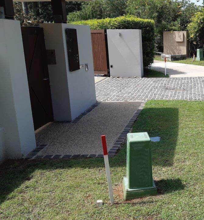
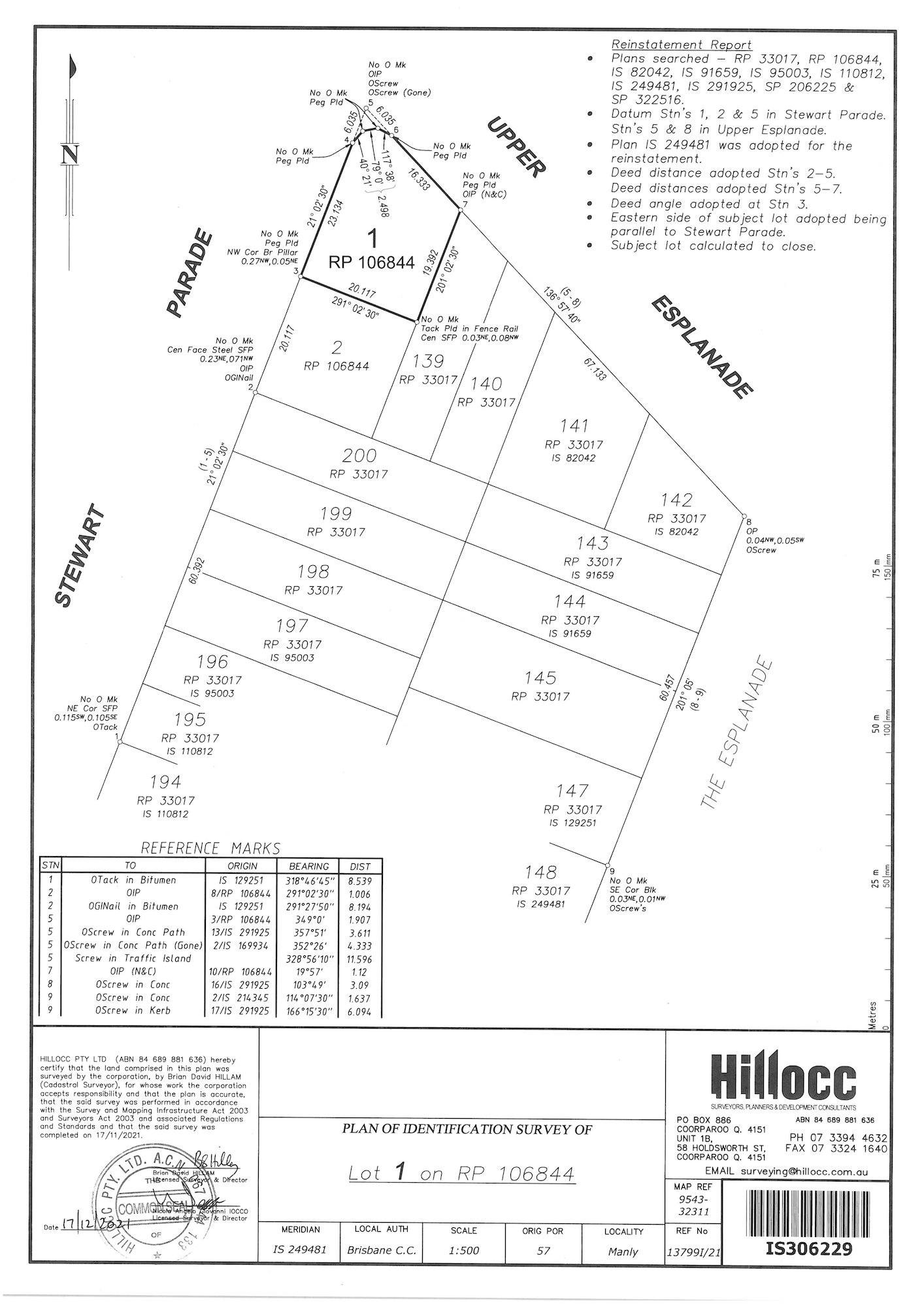
Boundary or Identification Surveys involve the identification of a lot’s external boundaries and physically marking them on the ground. Whilst this sounds simple, the process of identifying where boundaries should be located is immensely complicated.
Queensland operates within the Torrens Title system which guarantees the current facts relating to title for each registered lot; for example, the size, dimensions and location of a properties boundary.
To provide this guarantee, the state government requires all Boundary or Identification Surveys be complete exclusively by Registered Cadastral Surveyors with a Consulting Endorsement. This is the highest level of qualification and certification that a Surveyor can attain and normally takes a decade to earn.
A Boundary or Identification Survey can take several days to complete and there are several time-intensive activities that need to take place before a single boundary mark can be placed on your property:
Much of this process takes place on the streets around your property as well as in the office environment.


As the majority of plans and information that a Surveyor is required to work from predate 1980 and were initially made using antiquated technology, there is often significant errors and inaccuracies during this location process. Reconciling these differences is highly complicated and requires the use of advanced trigonometry, significant experience and skill. Once the Registered Cadastral Surveyor with a Consulting Endorsement has calculated the “most correct” position for your boundaries, they can finally place physical marks in the ground.
Once your boundaries have been marked, the Surveyor is required to prepare a Survey Plan for lodgement to the Queensland Department of Resources as a matter of public record. The Surveyor who performed and signed-off on your Survey Plan will be held liable for any inaccuracies for the life of the Survey Plan.
Whilst the Surveyor can be held liable for negligence, court processes are lengthy and costly for all involved. Not to mention that any mistakes can cause issues with your project and/or relationship with your neighbours. Therefore, it is critical that you select a Surveyor that:
Hillocc prides itself in specialising in all aspects of residential and commercial land surveying, have been operating for over 27 years and have completed more than 13,000 surveys across SEQLD.
"I recently engaged Hillocc's services for help with certification on retrospective additions to a property we bought. Hillocc were fantastic, professional and saved us a good chuck of money with their experience and knowledge. Highly recommend!"
"Had a great experience with Hillocc Pty Ltd. Fast results and very detailed work.
10 Out of 10 and recommend to give them a call if you need any surveying done."

